Experience is our strongest instrument.
Since 2013, we have built a company around one idea: aerial information should help people make better decisions on the ground. Today, Terrascan Labs brings operational scale, engineering thinking and research into the same team.
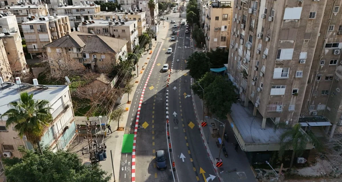
150+ projects a month. One consistent standard.
Well over 10,000 completed missions have taught us how to work across changing sites, demanding schedules and different information needs. We connect planning, flight operations, processing and quality review so that the output fits the job it is meant to support.
Our clients need more than a striking aerial image. They need measurements they can examine, changes they can follow and findings they can act on.
Safety events.
A record we work to protect on every mission.
Preparation before takeoff. Responsibility all the way through.
Our operating record reflects attention to mission planning, site conditions, aircraft readiness and the people around us. Safety is embedded in how we prepare and execute the work—not simply in the final statistic.
 FIELD OPERATIONS × ENGINEERING × R&D
Innovation, backed by real missions.
Terrascan Labs has received funding from the Israel Innovation Authority for research and development. Our work connects custom drone development, sensor integration and field validation to practical operational needs.
In 2017, our team won first place in BIG’s delivery-drone competition. The same willingness to solve unfamiliar problems continues in our R&D and custom UAV work.
Explore our R&D capabilitiesOne team, from the question to the answer.
Plan
Start with the engineering objective. Define the information, accuracy and deliverable.
Capture
Acquire the site through RGB, thermal, multispectral or specialized sensors.
Process & analyze
Reconstruct, measure, classify and validate the captured data.
Deliver
Put usable maps, models, reports and CAD / GIS data into your hands.
Experience that earns trust.
Working with the organizations building, operating and protecting Israel’s infrastructure.




Let’s look at your project from a different perspective.
Tell us what you need to measure, inspect, monitor or test. We’ll help define the right aerial approach.