Terrascan LabsTERRASCAN LABSAERIAL INTELLIGENCE
TECHNOLOGY

The right sensor.
The complete picture.

From visible light to laser and thermal measurements, our technology is selected around the question your project needs to answer.

RGB & photogrammetry
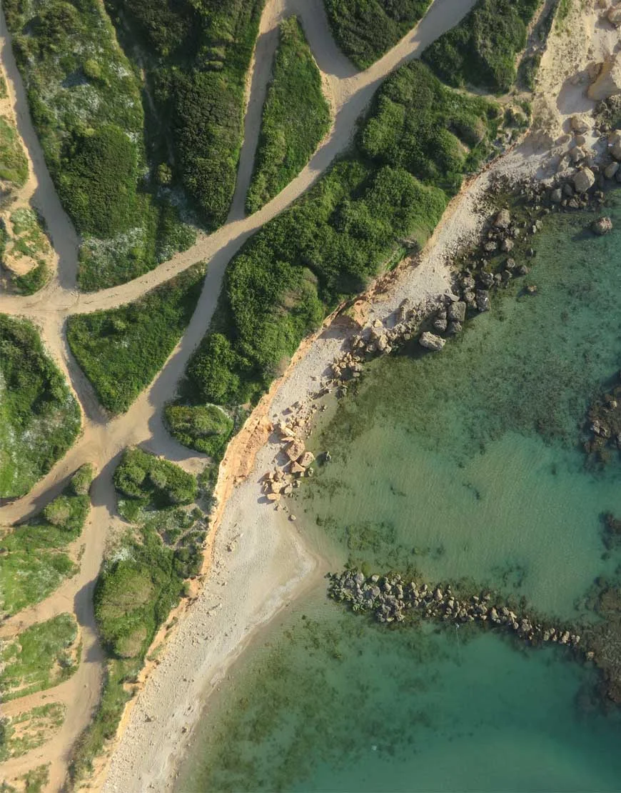
Technical output example from the Terrascan Labs image library.
RGB & photogrammetry

A measurable view of the real world.

Overlapping aerial photography is processed into georeferenced orthophotos, dense point clouds, 3D models and elevation surfaces. These outputs support survey mapping, quantities, planning and repeat monitoring.

Orthophoto · DSM / DTM · 3D mesh · CAD / GIS
THERMAL IN PRACTICE

Finding clues to underground water leaks.

A leak can change moisture and surface temperature along a buried pipe route. A radiometric thermal survey can reveal those surface anomalies and help focus the ground team’s investigation.

We plan suitable capture conditions, compare thermal patterns with visual imagery and the network route, then deliver mapped locations for follow-up. Thermal sensing detects surface effects; on-site checks confirm the cause.

AN APPLICATION WORKFLOW

01 / Aerial scan

Radiometric thermal + RGB

02 / Locate the anomaly

Surface pattern + pipe route

03 / Verify in the field

Targeted ground inspection

RESEARCH & DEVELOPMENT

From an operational need
to a working system.

We build and manage R&D projects for custom drones and autonomous vehicles—from the initial concept and engineering plan through integration, prototyping and field validation.

Terrascan Labs brings project management and hands-on development together. One coordinated team connects the technical decisions, development milestones and operational trials needed to move the project forward.

Discuss an R&D project
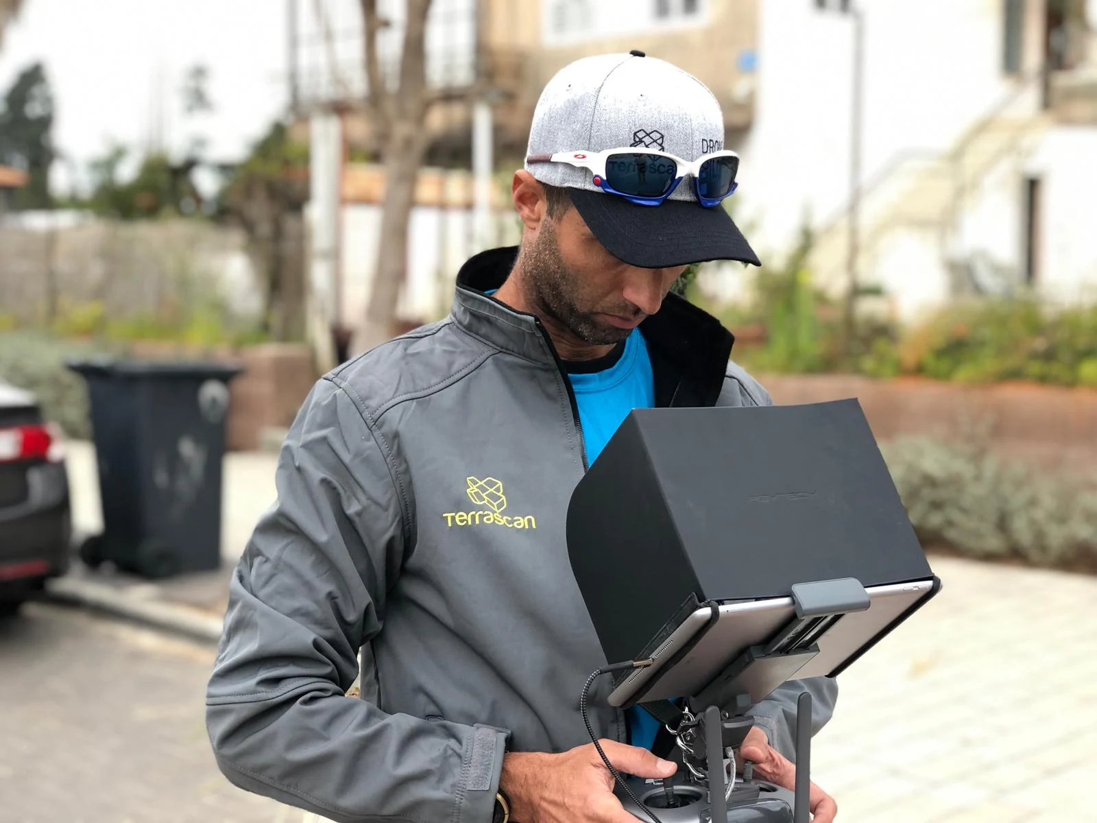
Terrascan field operator working with a drone control station
Engineering informed by real field operations.
DEVELOPMENT EXPERIENCE

Custom platforms. Real projects.

Our portfolio includes custom fuel-powered drones, an autonomous boat and aircraft adapted for a range of project requirements.

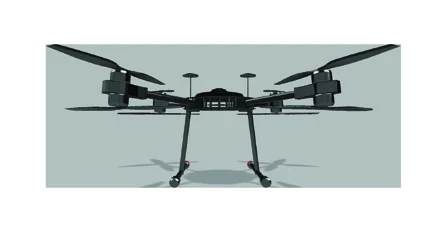
Terrascan-F hybrid multirotor configuration from the development brochure
Platform illustration from the Terrascan-F brochure.
TERRASCAN-F

Fuel-powered & hybrid drones

Custom multirotor development, including fuel/LiPo hybrid configurations in the Terrascan-F family. Aircraft configuration, propulsion and payload integration are matched to the project’s operating requirements.
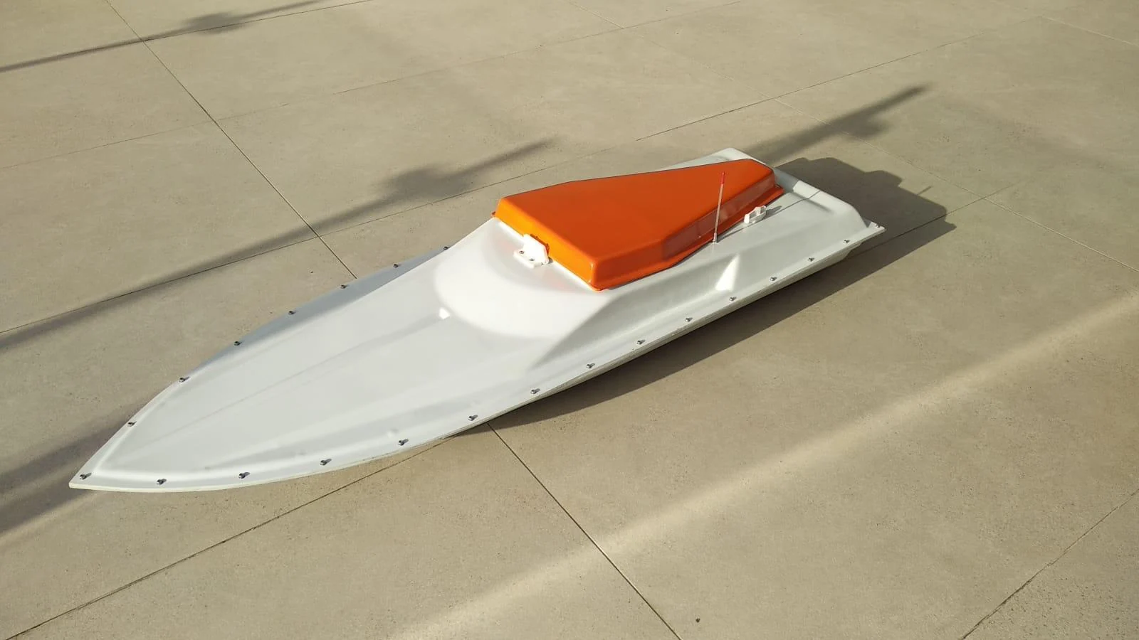
Autonomous boat prototype from the Terrascan development portfolio
Autonomous boat prototype.
AUTONOMOUS VEHICLES

Autonomous boat development

Our development portfolio extends beyond the air to an autonomous boat project. We can build and manage autonomous vehicle R&D around the intended mission, bringing platform development, system integration and field testing into one program.

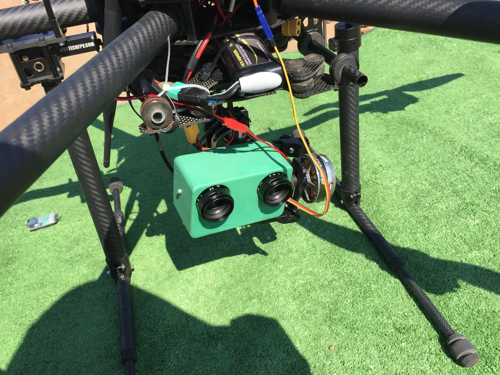
Custom sensor assembly mounted beneath a Terrascan drone
Custom sensor integration on a drone platform.
MISSION-SPECIFIC DEVELOPMENT

Custom drones & sensor integration

Purpose-built drone configurations for different projects, with custom payload mounts, sensors and onboard systems. We connect engineering work with practical integration and testing on the aircraft.

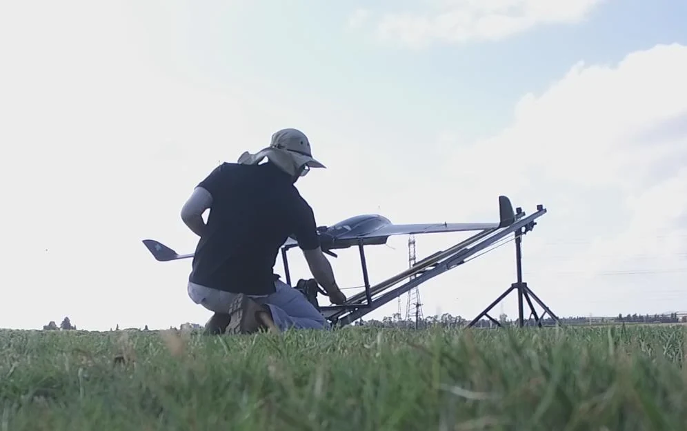
Terrascan-E fixed-wing aircraft being prepared on its launcher
Field preparation from the Terrascan-E brochure.
TERRASCAN-E

Fixed-wing UAV development

The Terrascan-E project adds fixed-wing experience to our portfolio: a lightweight UAV platform developed for surveying, search-and-rescue and lightweight delivery applications, with autonomous flight and launch-and-recovery workflows.

HOW WE MANAGE DEVELOPMENT

One program, from concept to field validation.

01

Define the project

Translate the operational need into a development brief, technical requirements, milestones and a validation plan.

02

Design & integrate

Coordinate platform configuration, propulsion, payloads, sensors and control systems around the mission.

03

Prototype & test

Build prototypes, conduct ground and field trials, review the findings and iterate against the agreed requirements.

04

Validate & hand over

Bring the results together with technical documentation, operating workflows and the next steps for deployment.

Our R&D experience includes research supported by the Israel Innovation Authority. We combine that development experience with the practical knowledge gained through thousands of field missions.

A DIFFERENT PERSPECTIVE

Let’s look at your project from a different perspective.

Tell us what you need to measure, inspect, monitor or test. We’ll help define the right aerial approach.