
PROVEN IN THE FIELD
Real requirements. Applied expertise.
Explore how aerial acquisition, geospatial processing and engineering come together.
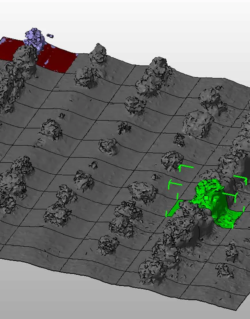 Infrastructure
Gihon
AI-powered infrastructure detection
Professional aerial acquisition and computer vision brought infrastructure features into a structured reporting workflow.
Explore project Government
Ministry of Construction & Housing
Surveying at scale
Aerial documentation and surveying support for public-sector planning and project oversight.
Explore project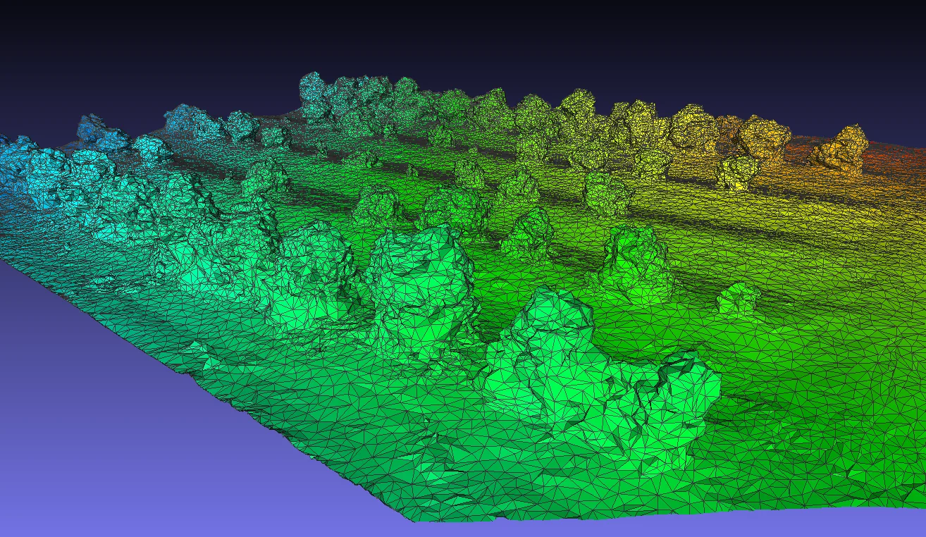 UAV engineering
BIG Drone Competition / 2017
First place. Beyond the standard mission.
Terrascan won BIG’s package-delivery drone competition, demonstrating UAV engineering and autonomous mission execution.
Explore project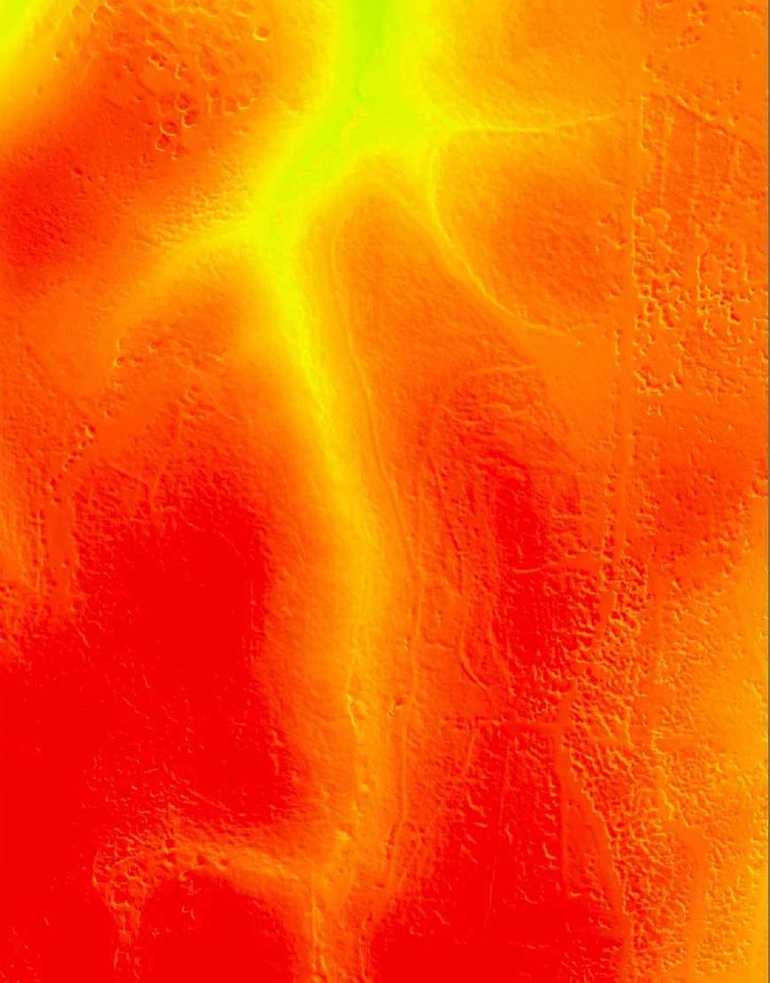 Research
Innovation Authority R&D
From UAV research to operational technology
Research and experimental operations connect sensing, engineering and real-world data acquisition.
Explore projectTechnical-library imagery illustrates capability and is not necessarily from the named project.
A DIFFERENT PERSPECTIVE
Let’s look at your project from a different perspective.
Tell us what you need to measure, inspect, monitor or test. We’ll help define the right aerial approach.