 01
Municipalities
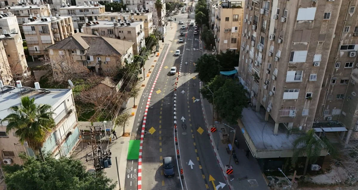
Turn aerial data into a practical view of the city: parcel reports, land-use mapping, building inventories and change review.
Municipal reports + AI + GIS
Explore the relevant service TERRASCAN LABSAERIAL INTELLIGENCE
Every sector asks different questions of the same ground. We combine field experience, sensing and analysis around the decisions your organization needs to make.
01Turn aerial data into a practical view of the city: parcel reports, land-use mapping, building inventories and change review.
 02
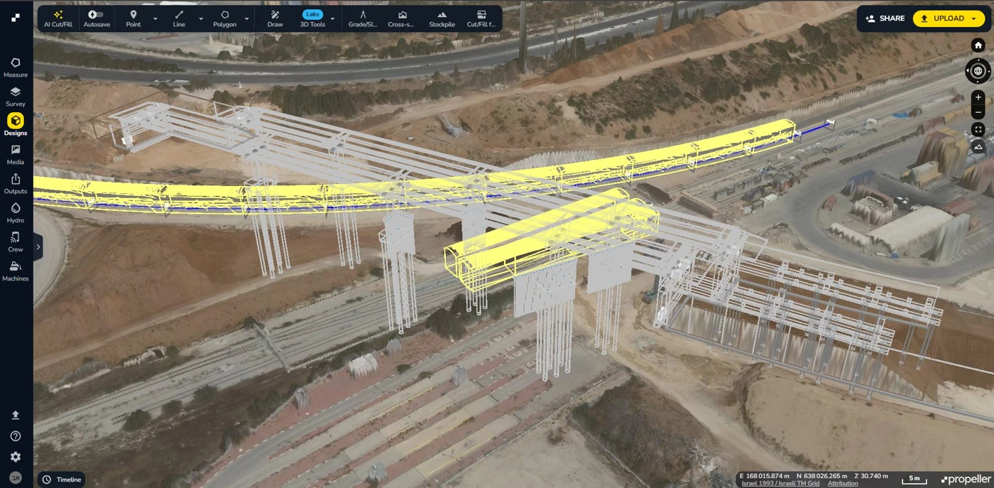
Follow roads, bridges and transport corridors from initial survey through construction and ongoing asset inspection.
 03
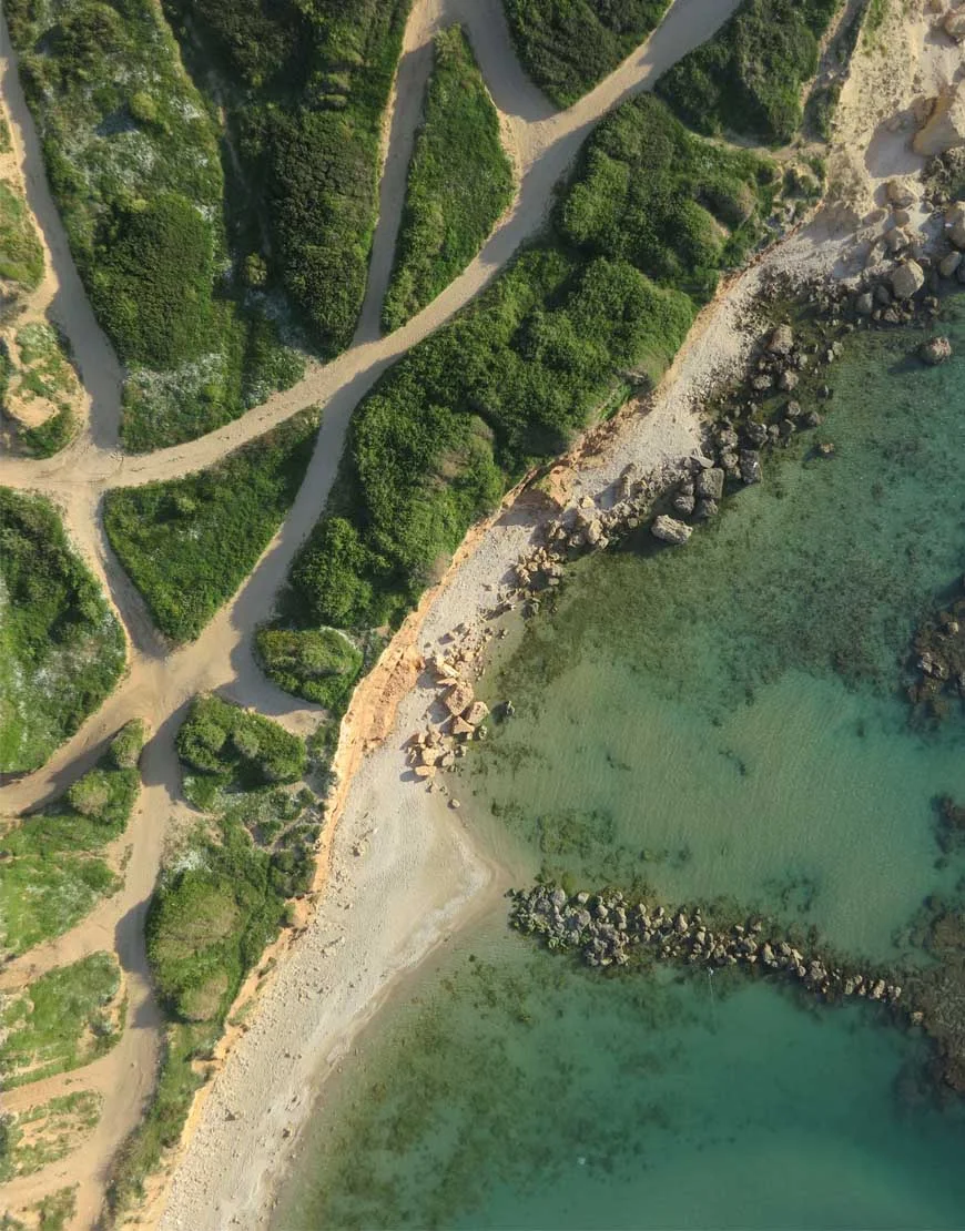
Create consistent mapping and documentation for public projects, land management and oversight across multiple sites.
 04
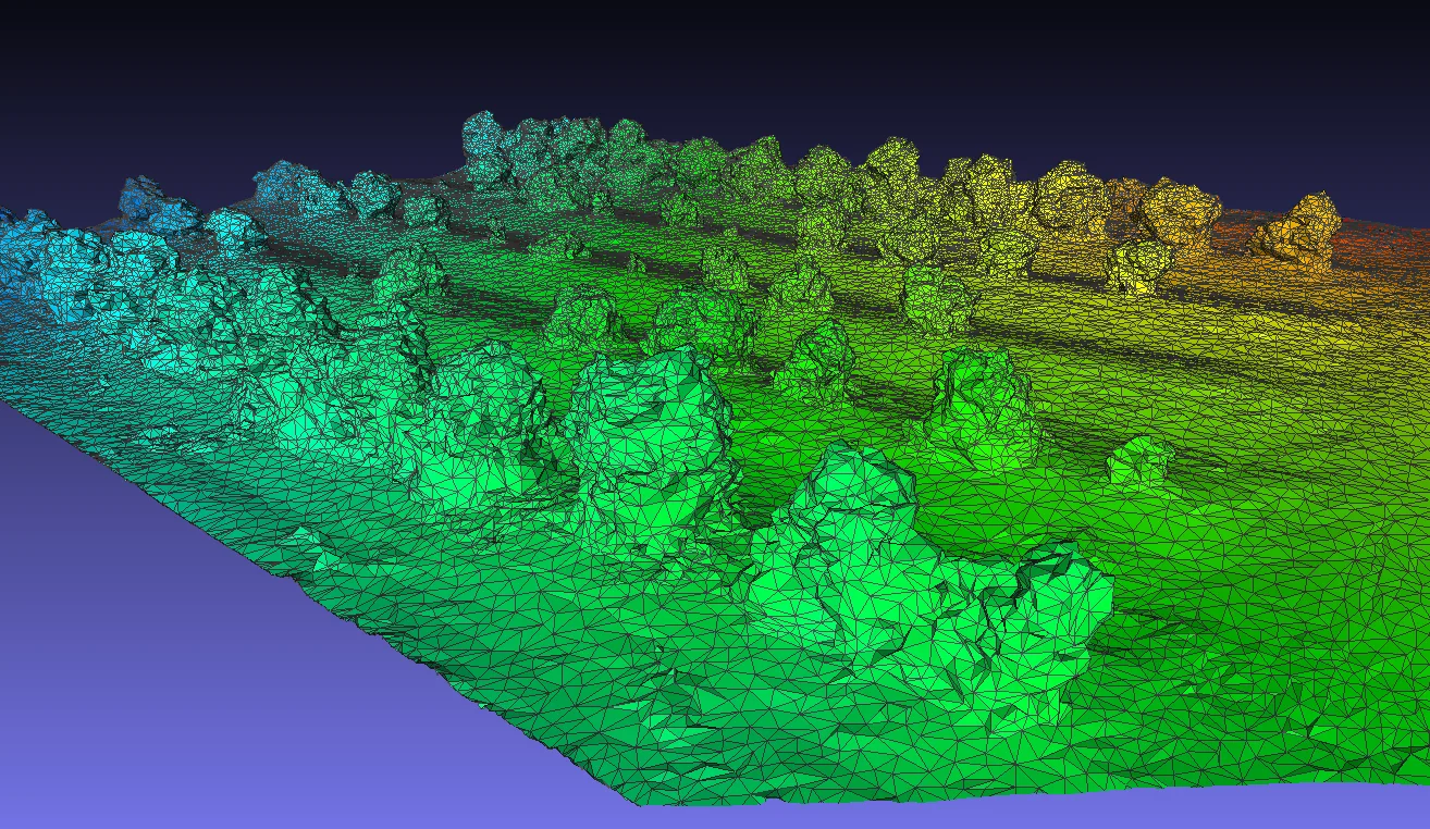
Test sensors, develop custom drones and validate new ideas through controlled field acquisition and flight trials.
 05
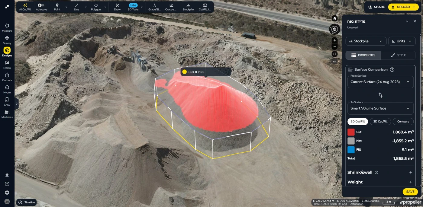
Keep track of progress, quantify material movement and compare the surveyed site with the plan in a shared workspace.
 06
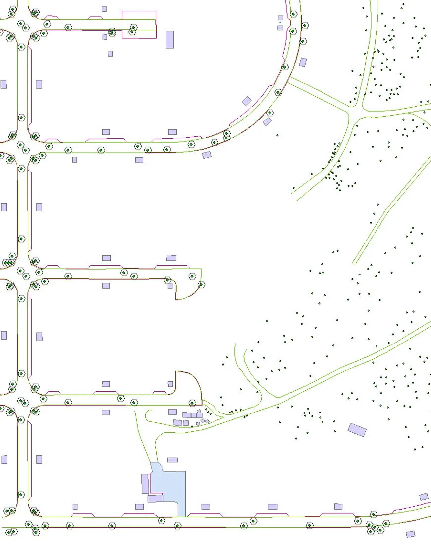
Give planners and engineers a current view of existing conditions, terrain and development interfaces before and during execution.
 07
Map network assets, identify features and investigate surface thermal patterns that may indicate underground leaks.
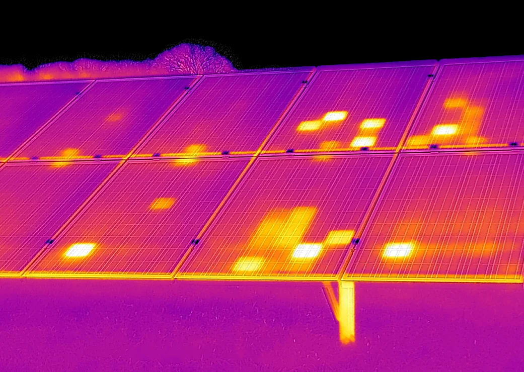
08Locate and document thermal anomalies across solar arrays to help maintenance teams prioritize targeted inspection.
 09
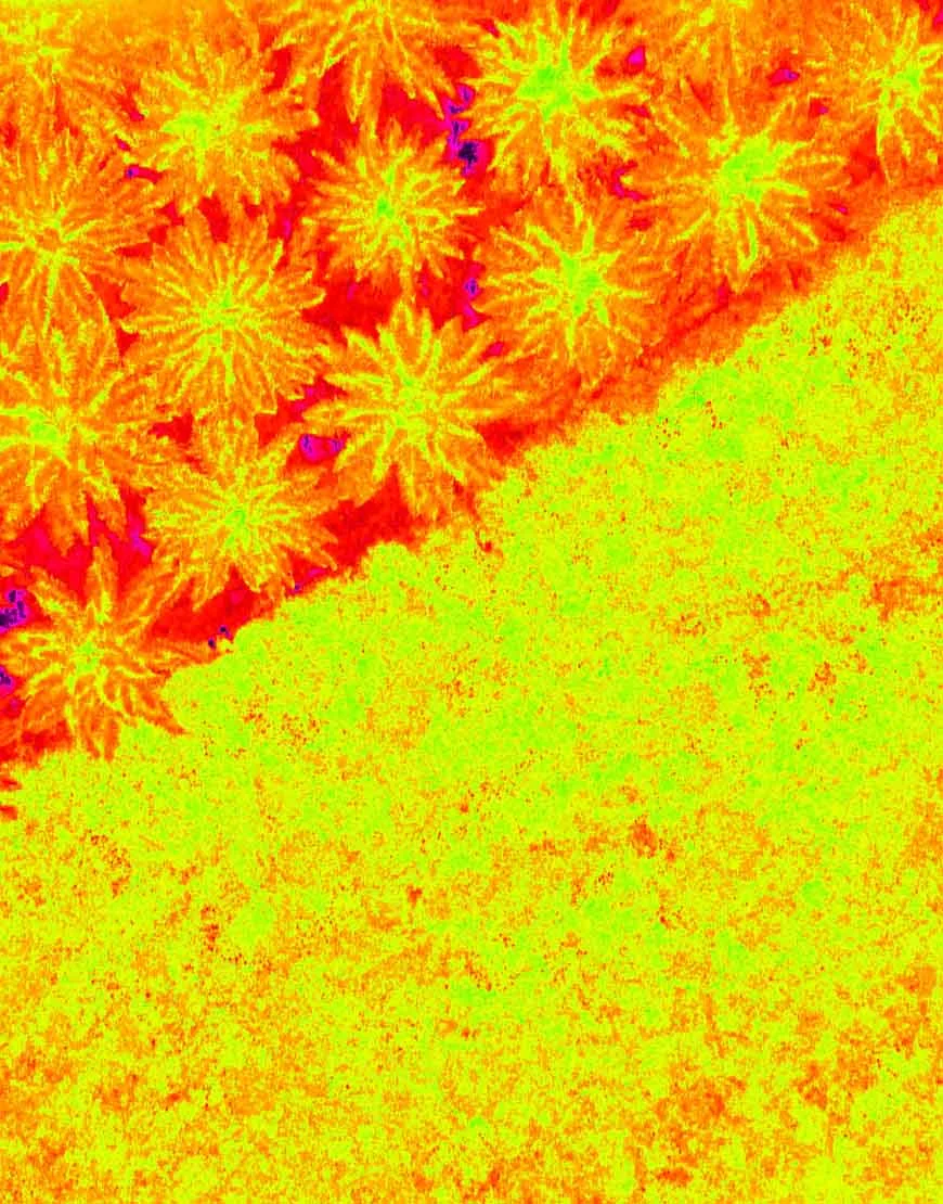
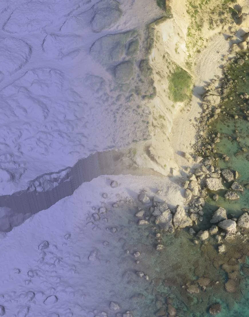
Use multispectral mapping, NIR and NDVI to assess vegetation patterns, document land cover and focus field investigation.
 10
Document complex facilities, inspect hard-to-access assets and deliver geospatial information for engineering coordination.
For organizations working across sectors, we build one coordinated program: agreed capture schedules, consistent deliverables and a shared view of the portfolio.
Working with the organizations building, operating and protecting Israel’s infrastructure.







Tell us what you need to measure, inspect, monitor or test. We’ll help define the right aerial approach.