
Experience transferred.
Practical training built around your team’s operational requirements.
Discuss your project
Professional UAV Training
Build a program around the work your team needs to perform. Connect mission planning and field operations with survey, sensor and processing workflows, so the training leads to a usable professional capability.
What you receive
- Mission planning & operations
- Surveying & photogrammetry
- Thermal & multispectral workflows
- Operational safety
- Organizational training programs
The final scope, accuracy and formats are agreed for each project.
Made for the work in front of you.
Government, infrastructure, surveying, engineering and research teams.
Plan
Start with the engineering objective. Define the information, accuracy and deliverable.
Capture
Acquire the site through RGB, thermal, multispectral or specialized sensors.
Process & analyze
Reconstruct, measure, classify and validate the captured data.
Deliver
Put usable maps, models, reports and CAD / GIS data into your hands.
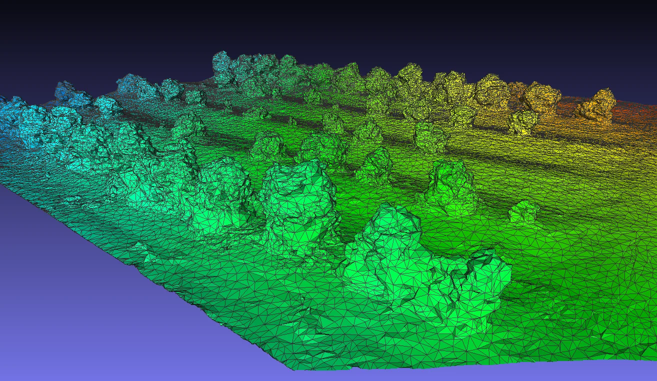
Let’s look at your project from a different perspective.
Tell us what you need to measure, inspect, monitor or test. We’ll help define the right aerial approach.