
Know what’s changed.
A consistent, measurable record of your project as it develops.
Discuss your project
Site & Progress Monitoring
Repeated surveys make changes visible and comparable. Agree a capture schedule, reference system and reporting format, then build a historical record that supports progress reviews, quantity checks and coordination between field and office.
What you receive
- Repeatable site surveys
- Date-to-date comparisons
- Quantity calculations
- 3D site records
- Progress reports & archive
The final scope, accuracy and formats are agreed for each project.
A record you can return to.
Repeat capture, compare conditions, quantify change and retain the history. A consistent reference system keeps each new survey connected to the last.
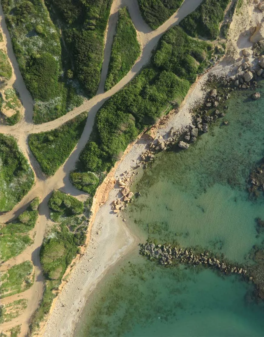
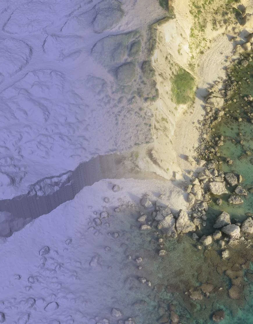
Survey-output comparison from the technical library; this is not a construction progress time series.
Made for the work in front of you.
Construction supervision, earthworks and infrastructure delivery.
Plan
Start with the engineering objective. Define the information, accuracy and deliverable.
Capture
Acquire the site through RGB, thermal, multispectral or specialized sensors.
Process & analyze
Reconstruct, measure, classify and validate the captured data.
Deliver
Put usable maps, models, reports and CAD / GIS data into your hands.
Related field experience.
Let’s look at your project from a different perspective.
Tell us what you need to measure, inspect, monitor or test. We’ll help define the right aerial approach.