
Turn millions of pixels into structured information.
Extract assets, features and changes from large aerial datasets.
Discuss your project
AI & Feature Detection
Define the features that matter, configure the detection workflow and validate the findings. Computer vision can help turn extensive imagery into geolocated inventories and reports, while human review keeps the results grounded in the project requirement.
What you receive
- Feature & object detection
- Asset classification
- Anomaly & change detection
- GIS asset inventories
- Structured reports
The final scope, accuracy and formats are agreed for each project.
Capture. Detect. Validate. Report.
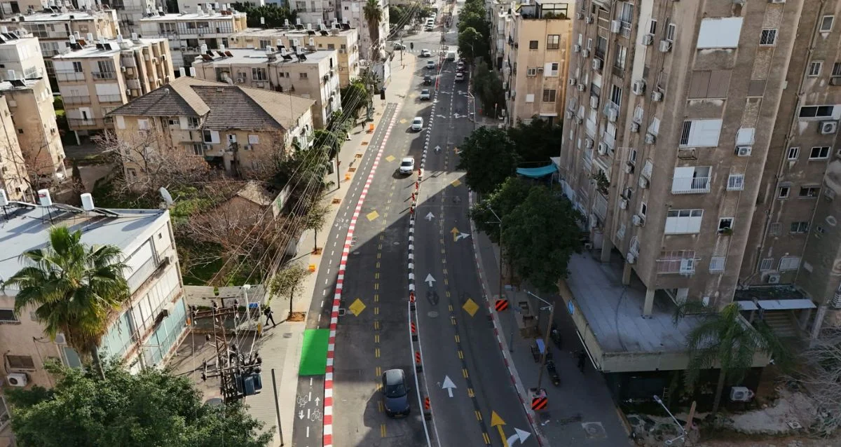
Workflow illustration: markers and records are illustrative, not actual detection results.
Made for the work in front of you.
Infrastructure asset inventories, network inspection and large-scale imagery review.
Plan
Start with the engineering objective. Define the information, accuracy and deliverable.
Capture
Acquire the site through RGB, thermal, multispectral or specialized sensors.
Process & analyze
Reconstruct, measure, classify and validate the captured data.
Deliver
Put usable maps, models, reports and CAD / GIS data into your hands.

Let’s look at your project from a different perspective.
Tell us what you need to measure, inspect, monitor or test. We’ll help define the right aerial approach.