The challenge
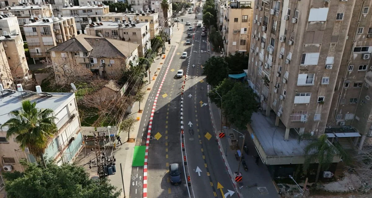
Identify infrastructure assets, including manholes, across aerial imagery and organize the findings for review.
Our approach
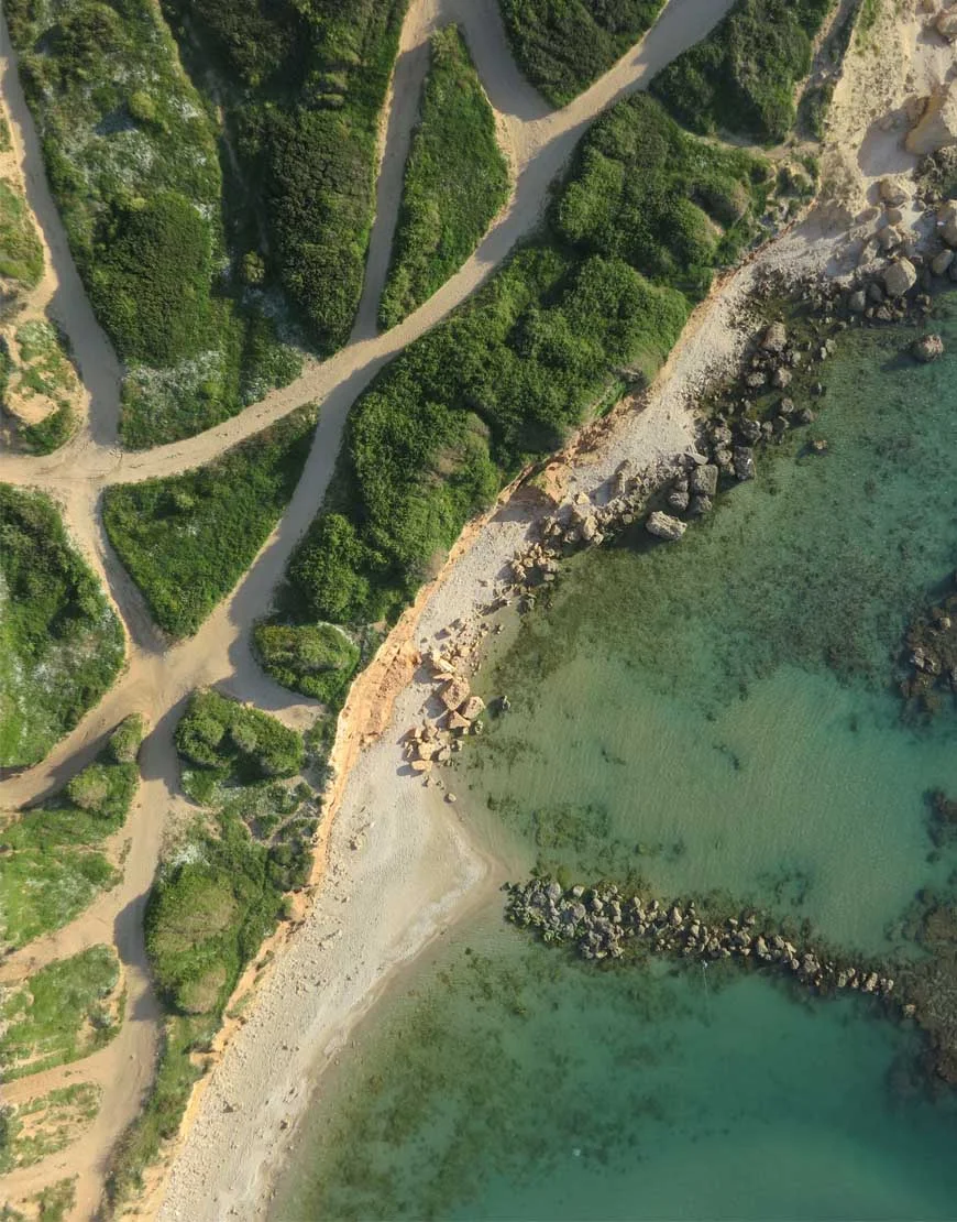
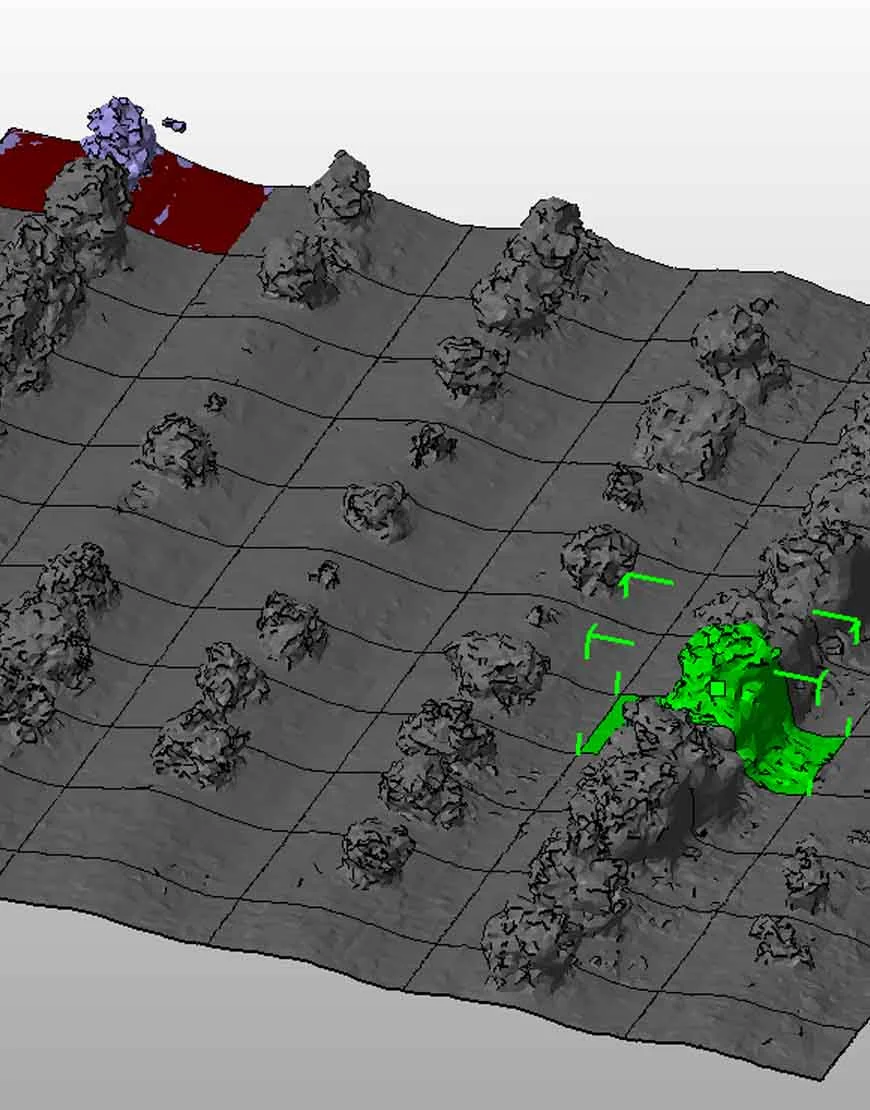
Combine UAV imagery with feature detection, geolocation and validation before generating structured reports.
The result
An image-to-information workflow connecting aerial observations with infrastructure records.