
See what conventional inspection misses.
Locate and document conditions beyond what conventional photography can reveal.
Discuss your project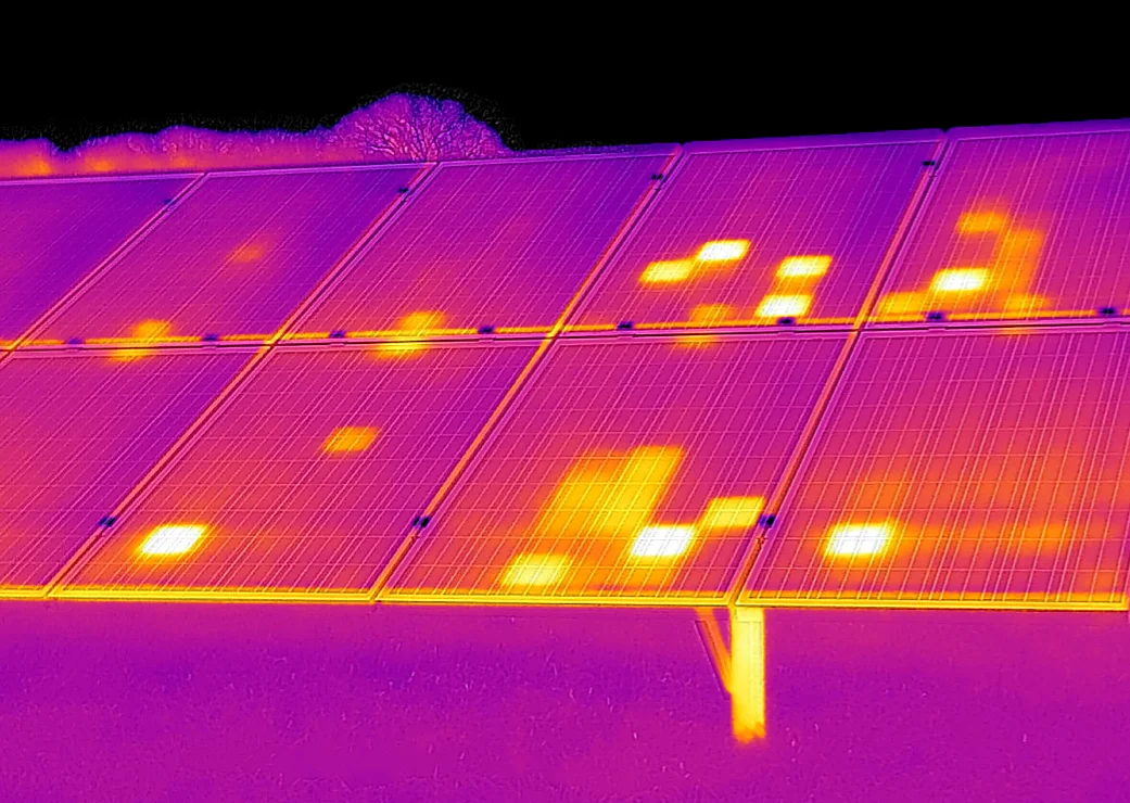
Inspection & Remote Sensing
Use visual, radiometric thermal, multispectral or specialized sensing to answer a defined inspection question. Findings are tied to their location and reviewed in context so your team can prioritize field investigation and maintenance.
What you receive
- Visual asset inspection
- Thermal anomaly maps
- Multispectral datasets
- Geolocated findings
- Inspection documentation
The final scope, accuracy and formats are agreed for each project.
See beyond the visible.

See the whole asset in context.
A visual baseline for inspection, mapping and repeatable site documentation.
Explore inspection & sensingMade for the work in front of you.
Infrastructure networks, industrial sites, energy assets and environmental research.
Plan
Start with the engineering objective. Define the information, accuracy and deliverable.
Capture
Acquire the site through RGB, thermal, multispectral or specialized sensors.
Process & analyze
Reconstruct, measure, classify and validate the captured data.
Deliver
Put usable maps, models, reports and CAD / GIS data into your hands.
Related field experience.
Let’s look at your project from a different perspective.
Tell us what you need to measure, inspect, monitor or test. We’ll help define the right aerial approach.