
Capture the complete picture.
A consistent geospatial foundation for planning, measurement and engineering decisions.
Discuss your project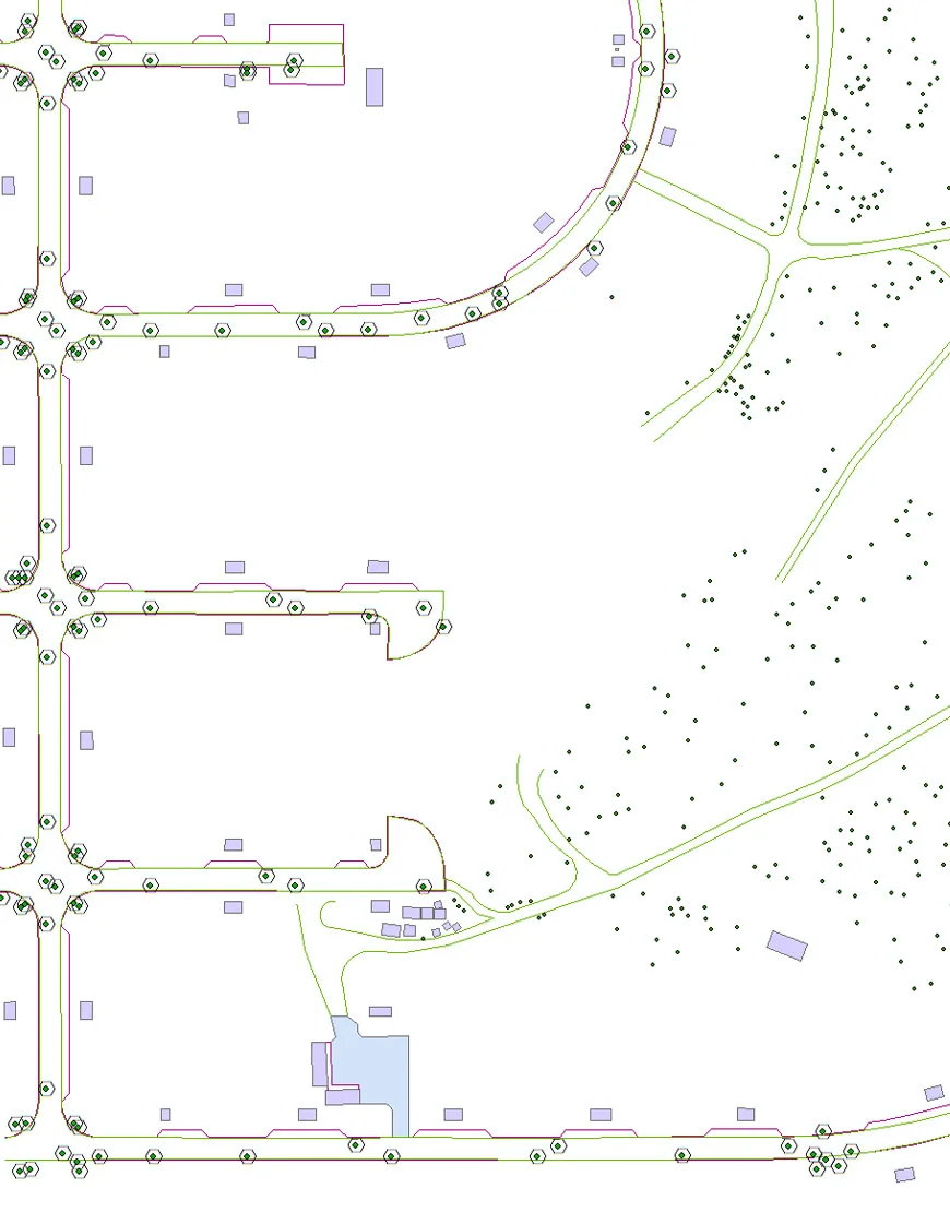
Surveying & Mapping
Bring the whole site into one measurable dataset. We plan aerial capture around your required accuracy, coordinate system and intended use, then process and check the results for your engineering workflow.
What you receive
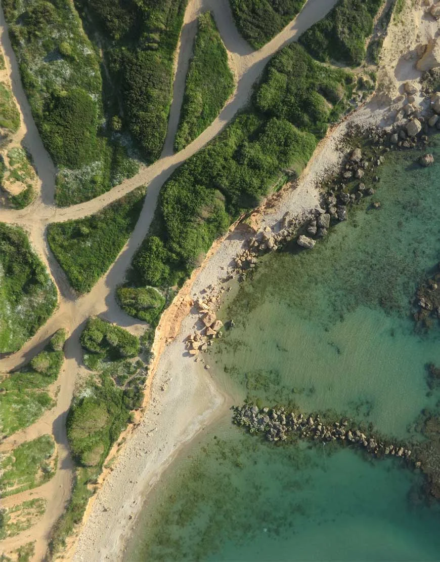
- Orthophotos & mapping
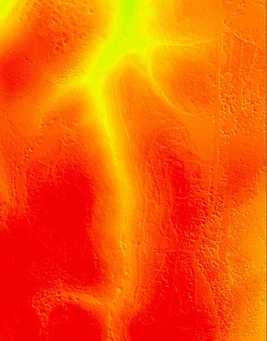
- DSM / DTM & contours
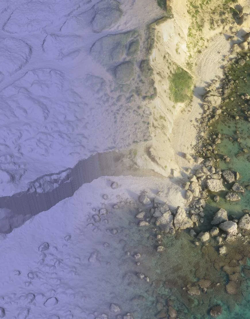
- Point clouds & 3D meshes
- Volumes & quantities
- CAD / GIS deliverables
The final scope, accuracy and formats are agreed for each project.
The outputs behind the decisions.
Made for the work in front of you.
Planning, infrastructure, earthworks and surveying support.
Plan
Start with the engineering objective. Define the information, accuracy and deliverable.
Capture
Acquire the site through RGB, thermal, multispectral or specialized sensors.
Process & analyze
Reconstruct, measure, classify and validate the captured data.
Deliver
Put usable maps, models, reports and CAD / GIS data into your hands.

Let’s look at your project from a different perspective.
Tell us what you need to measure, inspect, monitor or test. We’ll help define the right aerial approach.