The challenge
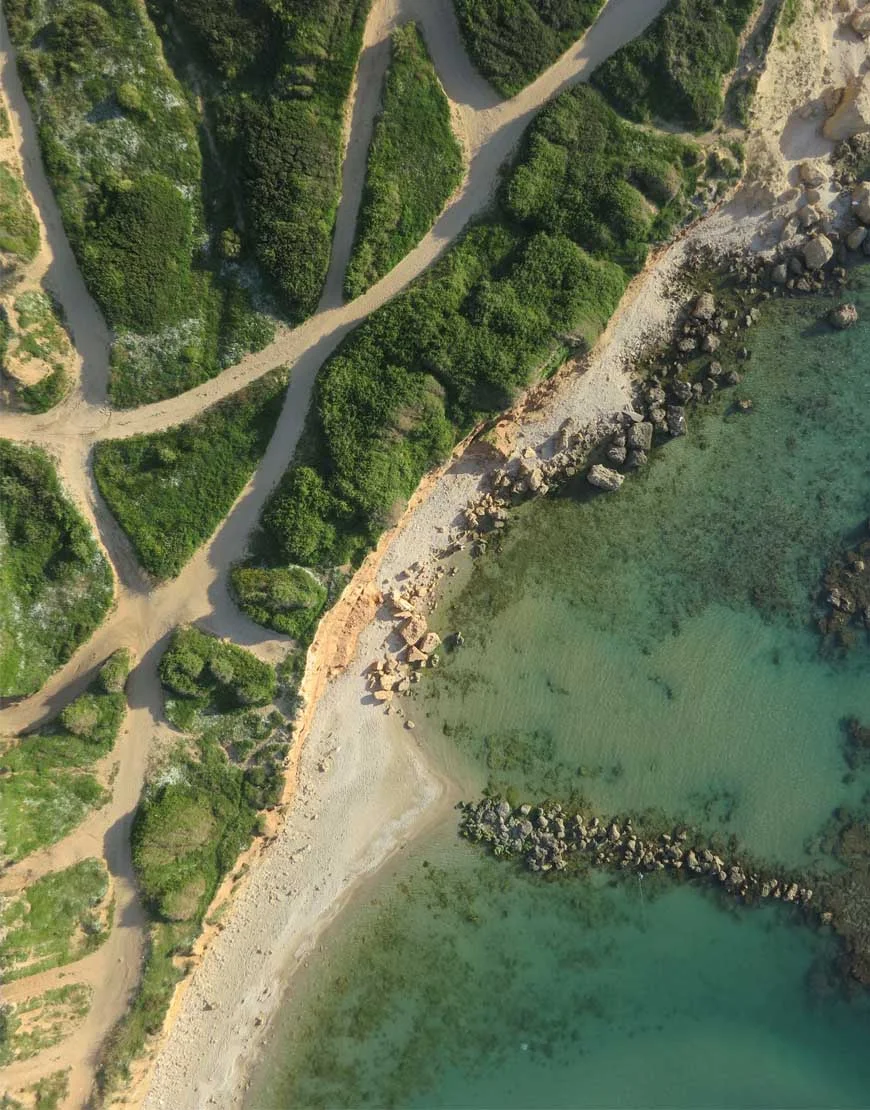
Provide a consistent aerial perspective for reviewing sites and supporting professional project teams.
Our approach
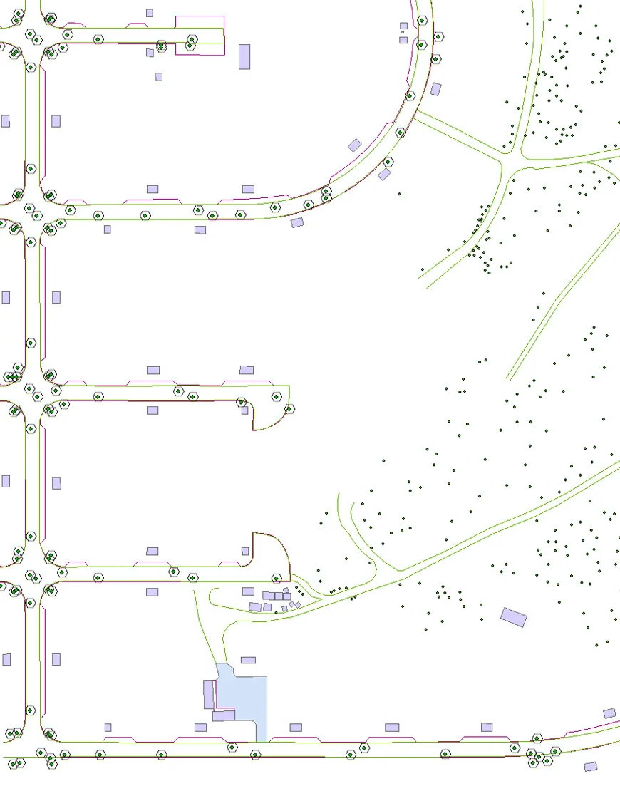
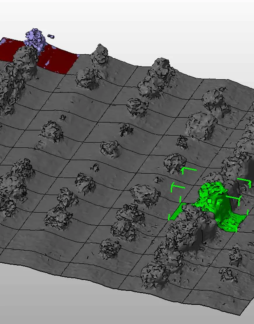
Plan aerial acquisition and process the imagery into project-relevant mapping and documentation outputs.
The result
Aerial information supports planning, supervision and a shared understanding of site conditions.