Compare dates
Review historical surveys to understand where activity occurred and document completed work.
 TERRASCAN LABSAERIAL INTELLIGENCE
Recurring surveys, a shared workspace in Terrascan Labs Platform and a clear record of what has changed on site.
Discuss your project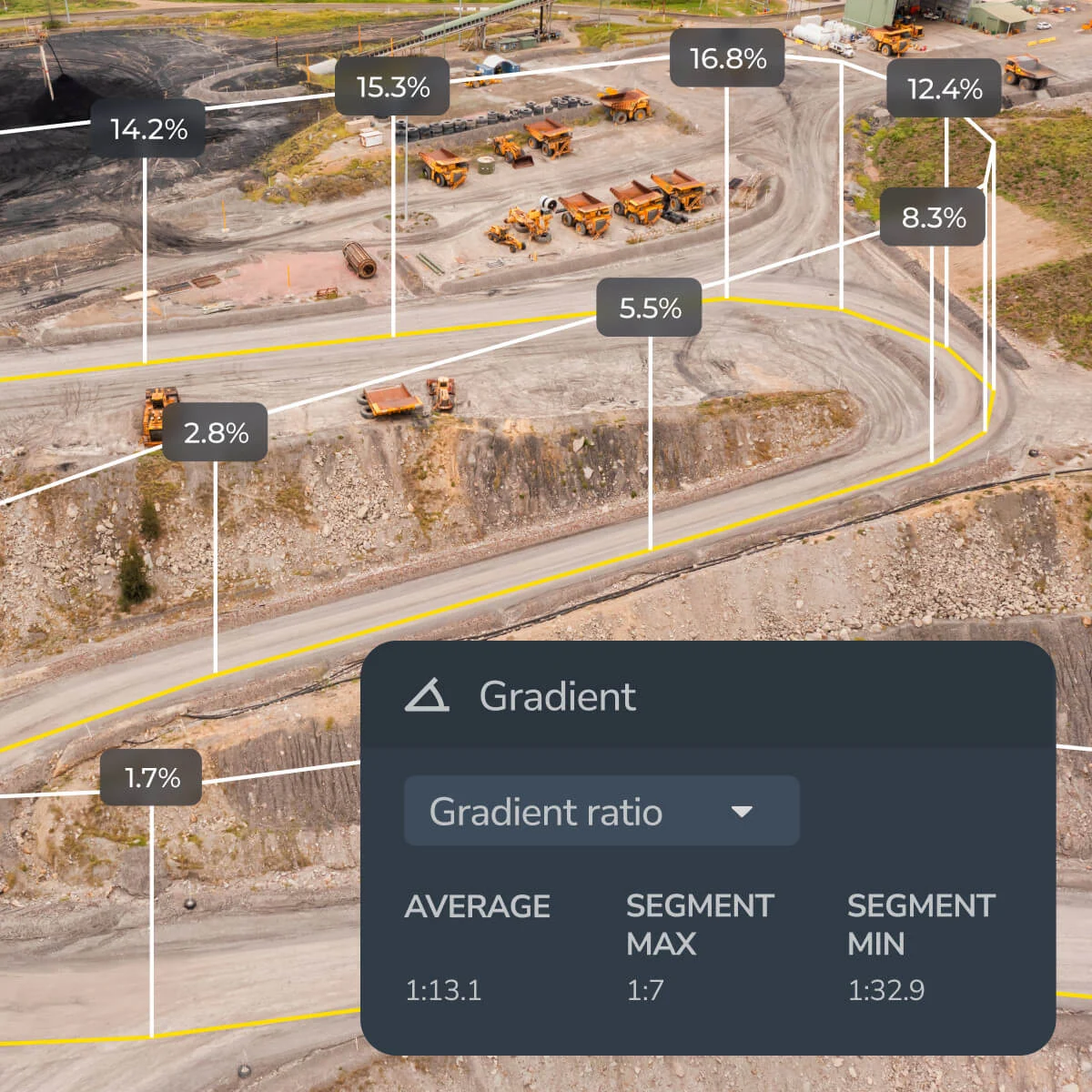
We plan the survey cadence around your construction milestones, capture and process the site, then organize the results in Terrascan Labs Platform. Your field and office teams can work from the same dated record.
Review historical surveys to understand where activity occurred and document completed work.
Compare surfaces, measure stockpiles and calculate cut/fill quantities for an agreed area.
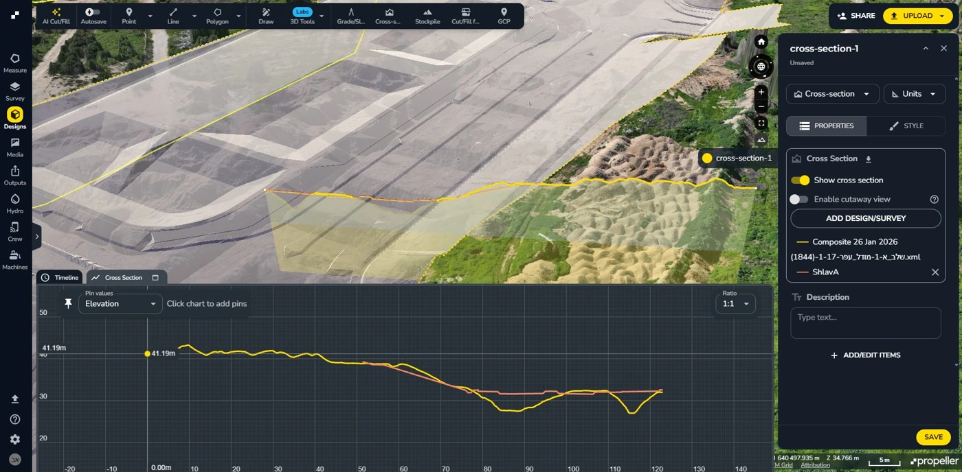
Overlay design information and inspect elevations, grades and cross sections to locate differences.
Bring annotated views and measurement reports into progress meetings and contractor coordination.
We define control, reference systems, survey frequency and deliverables before capture. The service can include team onboarding and a recurring reporting format, so measurements remain understandable and comparable across visits.

Tell us what you need to measure, inspect, monitor or test. We’ll help define the right aerial approach.