Quantities & stockpiles
Volumes, calculation boundaries, reference surfaces and dated survey inputs.
 TERRASCAN LABSAERIAL INTELLIGENCE
Surveying, AI-assisted feature identification and structured reporting for infrastructure teams and municipalities.
Discuss your project
Our Hagihon project experience includes AI-assisted detection of open chambers in infrastructure imagery. We connect candidate detections to locations and human review, turning extensive aerial data into a focused inspection list.
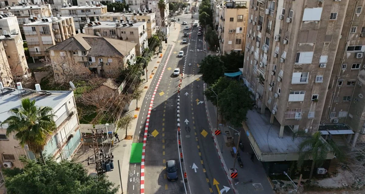
Workflow illustration: markers and records are illustrative, not actual detection results.
Combine orthophotos, parcel boundaries and land-use interpretation into municipal open-area reports. Summarize mapped areas, building footprints and findings with the source references needed for professional review.
Deliverables can include overview maps, parcel sheets, CSV tables and GIS layers. The example shown uses synthetic data from our reporting workflow.
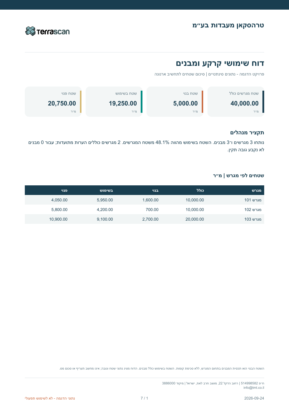
Demonstration using synthetic data from our reporting workflow. The figures are illustrative, not client results. Select the image to view it at full size.
Volumes, calculation boundaries, reference surfaces and dated survey inputs.
Date-to-date comparisons, cross sections and planned-versus-surveyed differences.
Maps, tables and spatial files with coordinate references and quality notes.

Tell us what you need to measure, inspect, monitor or test. We’ll help define the right aerial approach.