Solar panels
Map thermal anomalies across solar arrays, pair them with RGB imagery and identify locations for targeted electrical and maintenance checks.
 TERRASCAN LABSAERIAL INTELLIGENCE
Radiometric thermal surveys for solar assets, water networks and agricultural investigations.
Discuss your project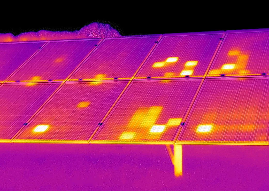
Thermal data is useful when capture conditions and interpretation match the question. We plan the survey around the asset, environment and follow-up inspection.
Map thermal anomalies across solar arrays, pair them with RGB imagery and identify locations for targeted electrical and maintenance checks.
Investigate surface temperature patterns along buried pipe routes. Moisture-related anomalies guide ground checks; thermal images do not see through the soil or confirm a leak on their own.
Compare canopy and surface temperature patterns to focus investigation of irrigation differences and crop stress. Multispectral, NIR and NDVI layers can add complementary context.
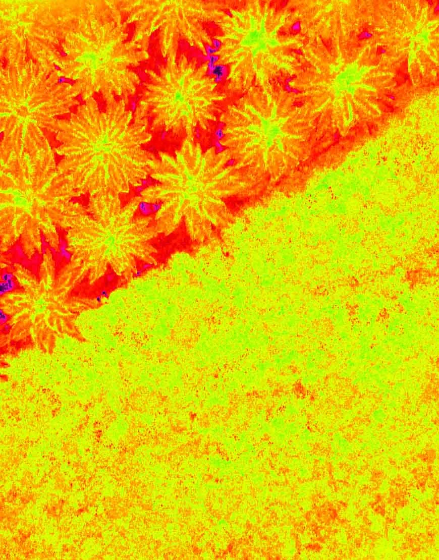
Receive a geolocated findings map, paired thermal and visual references, capture-condition notes and a prioritized list for field verification. The scope and interpretation are matched to the intended use.

Tell us what you need to measure, inspect, monitor or test. We’ll help define the right aerial approach.